Mixed weather ahead as summer warmth takes a break
After several days of warm summer weather, it will turn cooler and more unsettled over the weekend.
Friday will remain dry and sunny across the country, with temperatures climbing to 22° in northern parts and reaching up to 26° locally in Limburg.
Saturday will see a marked change, with more cloud cover and cooler air. In the south and east, the morning will be mostly dry with sunny spells, while northern regions will start off grey with occasional light rain.
By the afternoon, cloud will spread from the northwest and showers will develop in more areas. Only the far southeast is likely to stay dry until evening.
Daytime temperatures will range from 18° at the seaside to around 23° in Limburg during sunnier periods.
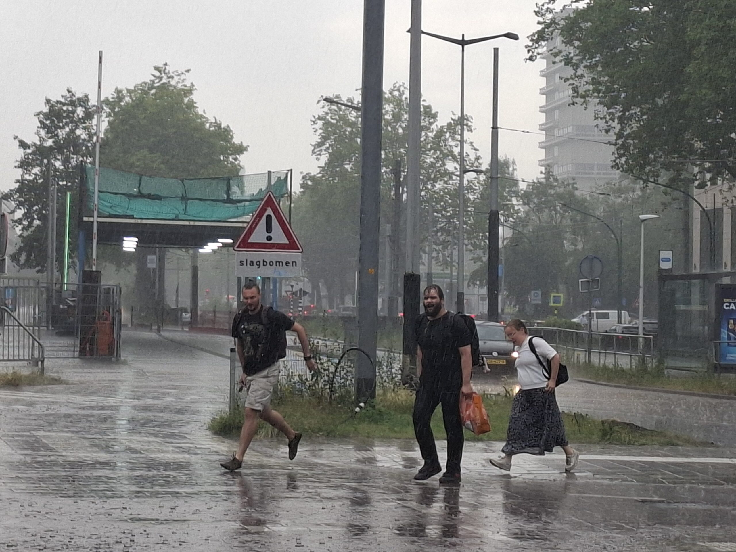
On Sunday, showers will be widespread across the country, with some areas seeing prolonged rainfall and the possibility of local thunderstorms. The temperature will peak at around 20°, dropping by a few degrees during the rain.
By evening, the sun may break through along the west coast, with drier conditions expected there, while further inland, the rain will ease overnight. Minimum temperatures will fall to between 12° and 14°.
The start of next week will remain cool and changeable, with highs of 18° to 20°, below the seasonal norm of 20° to 24° for early July. Strong winds at times will make it feel even cooler.
From midweek onwards there will be more sunshine and a return to summer warmth, particularly in inland regions.
Thank you for donating to DutchNews.nl.
We could not provide the Dutch News service, and keep it free of charge, without the generous support of our readers. Your donations allow us to report on issues you tell us matter, and provide you with a summary of the most important Dutch news each day.
Make a donation