Storms and heavy hail ahead as warm spell ends
See more DutchNews articles in your Google search results
See more DutchNews articles in your Google search results
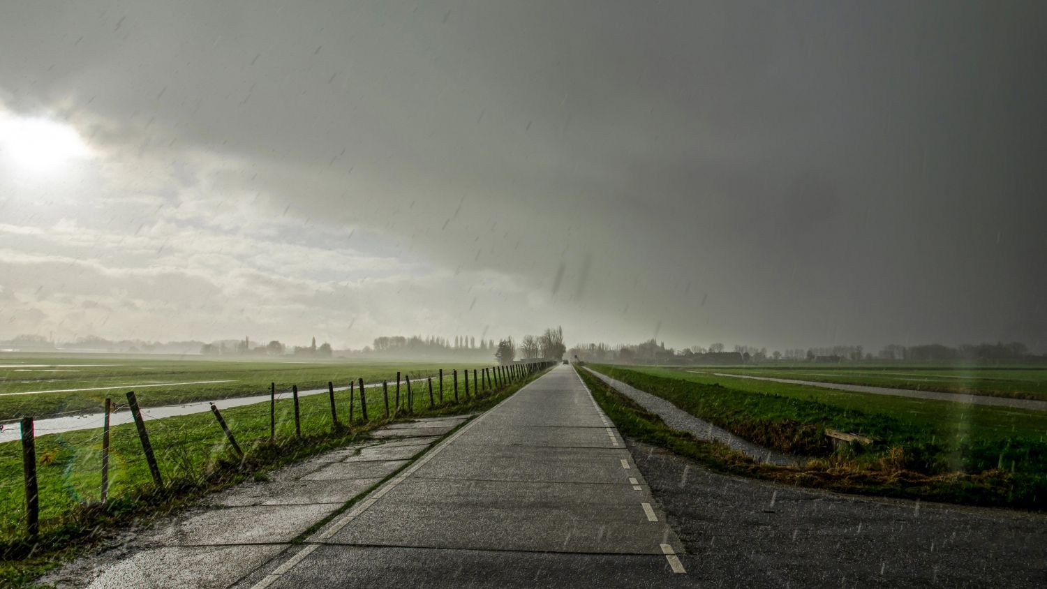
Add as a favourite source on Google Add DutchNews as a favourite source on GoogleThe unusually early heat that sent temperatures above 30° last week has ended, and the week ahead will be markedly cooler and wetter, with thunderstorms likely on Tuesday and Thursday, the national weather service KNMI has said. Afternoon temperatures will hover around 20°.
The warm spell ended with heavy thunderstorms over the weekend, bringing local flooding and heavy hail, with hailstones the size of golf balls raining down and prompting the KNMI to issue a code orange alert in Groningen, Drenthe, Overijsell and Gelderland.
The worst fell in Belgium, where flooding and lightning strikes took out power supplies, and cars and greenhouses were damaged. Several people were hurt by the hail at a festival, broadcaster NOS reported.
Monday will stay warm at 20° to 25° and mostly dry.
This will change on Tuesday, with thundery showers over the south-west in the afternoon and moving north-east.
KNMI is warning that, mainly in the north-eastern half of the country, Tuesday’s storms could bring more heavy hail, wind gusts of 60 to 70 kpm and 20 to 40 mm of rain in a short time – raising the risk of localised flooding.
Wednesday and Thursday will turn cooler still with occasional sun but more showers. The showers should ease later in the week, with temperatures edging back above 20° into the weekend.
Thank you for donating to DutchNews.nl.
We could not provide the Dutch News service, and keep it free of charge, without the generous support of our readers. Your donations allow us to report on issues you tell us matter, and provide you with a summary of the most important Dutch news each day.
Make a donation