First official frost of the season as Dutch temperatures drop

A frosty morning in Noord-Brabant. Photo: DutchNews.nl

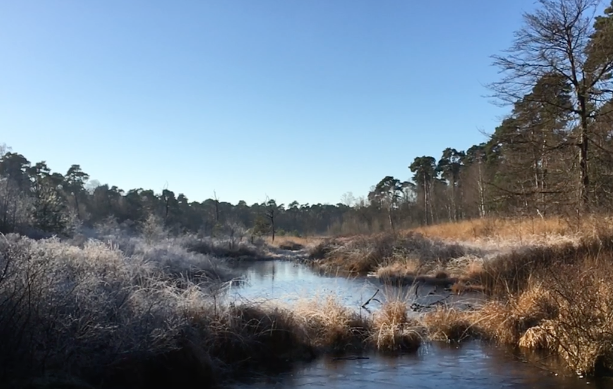
The temperature at the De Bilt weather station near Hilversum, where official weather records are set, dipped below freezing on Sunday evening for the first time this autumn.

Earlier in the evening, the weather station in Eelde had already recorded the first local frost.

This year’s first frost arrives more than a week later than the 30-year average of  November 7 as global warming continues to have an impact on the seasons.  Between 1971 and 2000, the long-term average for the first frost of autumn was October 31.

The colder spell signals a week of changeable but noticeably cooler weather across the country with the maximum temperature set to remain well below 10°, Weeronline said.

Monday brings further showers, some accompanied by strong gusts of wind and possible hail. More showers are expected on Tuesday, though there will be sunny intervals on both days.

A cloudy and wetter Wednesday will follow, with longer periods of rain and a chance of wet snow inland. Wintry showers may persist on Thursday, but the weather should turn drier and brighter from Friday.

Nights will also become colder. The chance of frost increases from Thursday, with night-time lows ranging from -3° in the east to +2° along the coast.

Thank you for donating to DutchNews.nl.

We could not provide the Dutch News service, and keep it free of charge, without the generous support of our readers. Your donations allow us to report on issues you tell us matter, and provide you with a summary of the most important Dutch news each day.

Make a donation