Storm Benjamin set to hit Dutch coast on Thursday afternoon
The KNMI weather bureau has revised its weather warning for storm Benjamin for the second time, saying gales are now set to hit the Zeeland coast from 2 pm on Thursday.
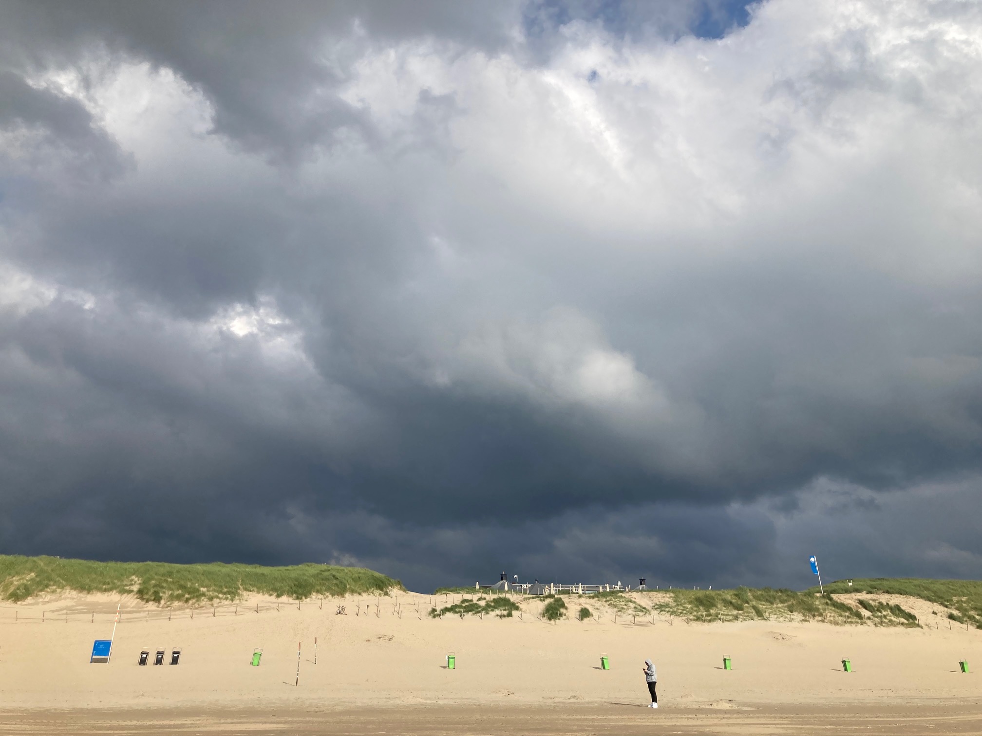
The storm will then move up the coast in the afternoon to Zuid and Noord Holland, the IJsselmeer area and the Wadden Sea as the evening progresses.
The KNMI raised its warning level from yellow to amber on Wednesday afternoon, saying winds of up to 120 kph are now expected to batter the Dutch coastline. Over the rest of the country, where there is a code yellow warning, winds will reach up to 90 kph.
The winds will be strong enough to bring down trees and could cause significant damage, the KNMI said. Several dozen flights have been cancelled at Schiphol airport and train services in Zeeland have been scaled back.
Seaside towns have been making themselves “storm proof” by removing windows from beach pavilions, and a big wheel fair attraction in Noordwijk has been demolished a few days earlier than planned, according to local broadcasters.
Some events have also been cancelled or brought forward. The Europa League football match between Feyenoord and Panathinaikos at the Kuip stadium will now kick off at 4.30 pm instead of 6.45 pm, while AZ–Slovan Bratislava in the Conference League will start at 6.45 pm instead of 9 pm.
The winds will die down overnight, but the next few days will remain breezy, with rain every day and temperatures around 13°, the KNMI said.
Thank you for donating to DutchNews.nl.
We could not provide the Dutch News service, and keep it free of charge, without the generous support of our readers. Your donations allow us to report on issues you tell us matter, and provide you with a summary of the most important Dutch news each day.
Make a donation