Rare September heatwave declared as temperatures head for 31C
See more DutchNews articles in your Google search results
See more DutchNews articles in your Google search results
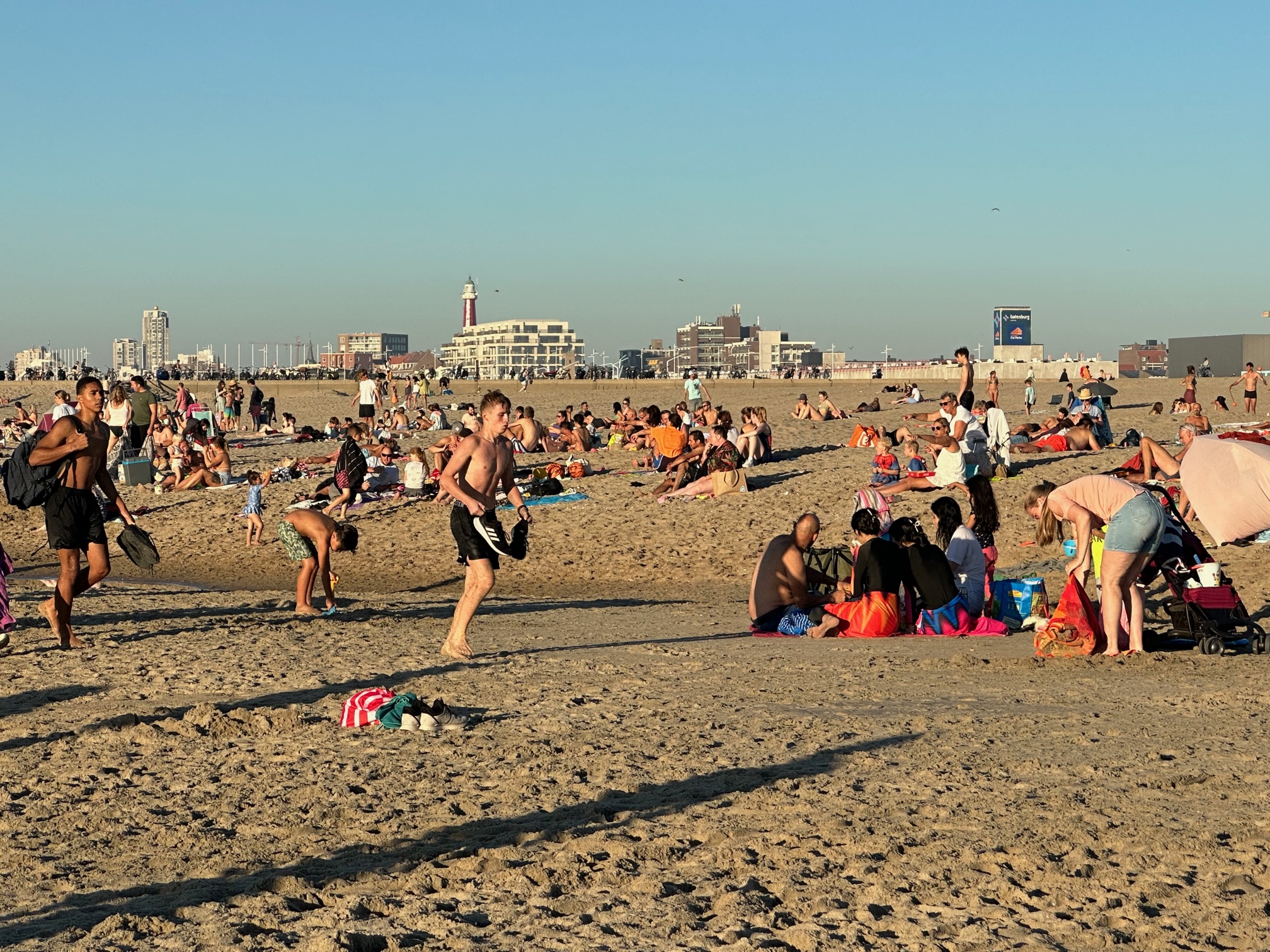
Add as a favourite source on Google Add DutchNews as a favourite source on GoogleRegional heatwaves have been declared in parts of the Netherlands after the temperature passed 25C for the fifth day in a row on Friday.
The thermometer in the coastal town of Hoek van Holland reached 25.2C at 10.20am, weather bureau Weeronline reported.
Other areas are expected to follow suit during the day, with temperatures ranging from 26C on the Wadden islands to 31C in the south and east.
It is only the seventh time since records began that a heatwave – defined as five consecutive days above 25C including three over 30C – has been recorded in the Netherlands in September.
Weeronline said the warm, sunny conditions would continue over the weekend before clouds started to roll in on Monday. Next week will bring a mix of rain and sunshine, with temperatures dropping to around 22C by the end of the week.
Omega block
Evenings will stay warm, with night temperatures of between 13C and 17C, which could lead to patches of fog on Sunday morning.
Meteorologists said the unseasonally warm, still conditions are the result of an “omega block”, where an area of high pressure is trapped between two low-pressure areas – in this case over the Atlantic ocean and the eastern Mediterranean.
The high pressure is unable to move and acts as a block on blocks rain moving in from the south-west. The same system has been blamed for causing the heavy rain in Spain last week, as a depression became stuck behind the high-pressure area over northern Europe.
Thank you for donating to DutchNews.nl.
We could not provide the Dutch News service, and keep it free of charge, without the generous support of our readers. Your donations allow us to report on issues you tell us matter, and provide you with a summary of the most important Dutch news each day.
Make a donation