No good and bad names: Rotterdam sets up street history database


Rotterdam city council is to make sure all streets within its boundaries link to a database explaining where the name came from, to boost awareness of the city’s colonial and slavery heritage.
But rather than divide the city into ‘good’ and ‘bad’ streets, the council has voted give all 6,402 roads a detailed explanation instead.
‘Every street in the city was given a name for a reason,’ said city executive Vincent Karremans, who is in charge of outdoor spaces. ‘The history of the city… can be read in the street name signs and we want to make more known about them – be it just a nice to know fact or important historical awareness.’
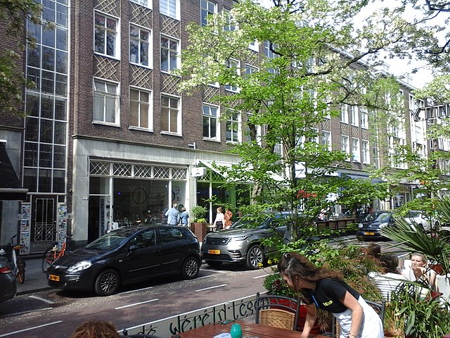
Many of the city’s roads relate to its history as a port, others to their specific location on a canal or next to an important building. Companiestraat, for example, takes its name from VOC storage warehouse destroyed by fire in 1746, while Witte de Withstraat was named after a colonial era admiral.
Over the past year, all streets in the city have been categorised as to whether they related to a person, a location, a historical event or other category.
QR code
From next year, all street signs will be given a QR code which links to a database outlining what the name means. The database is currently being expanded and updated.
In 2020, Rotterdam named five new streets in its Charlois district after people who struggled against slavery and colonial rule and officials are currently discussing if a formal apology for slavery should be made – as happened in Amsterdam this year.
Research published last year showed that one in eight Rotterdammers can trace their roots back to an ancestor who had been enslaved.
Thank you for donating to DutchNews.nl.
We could not provide the Dutch News service, and keep it free of charge, without the generous support of our readers. Your donations allow us to report on issues you tell us matter, and provide you with a summary of the most important Dutch news each day.
Make a donation